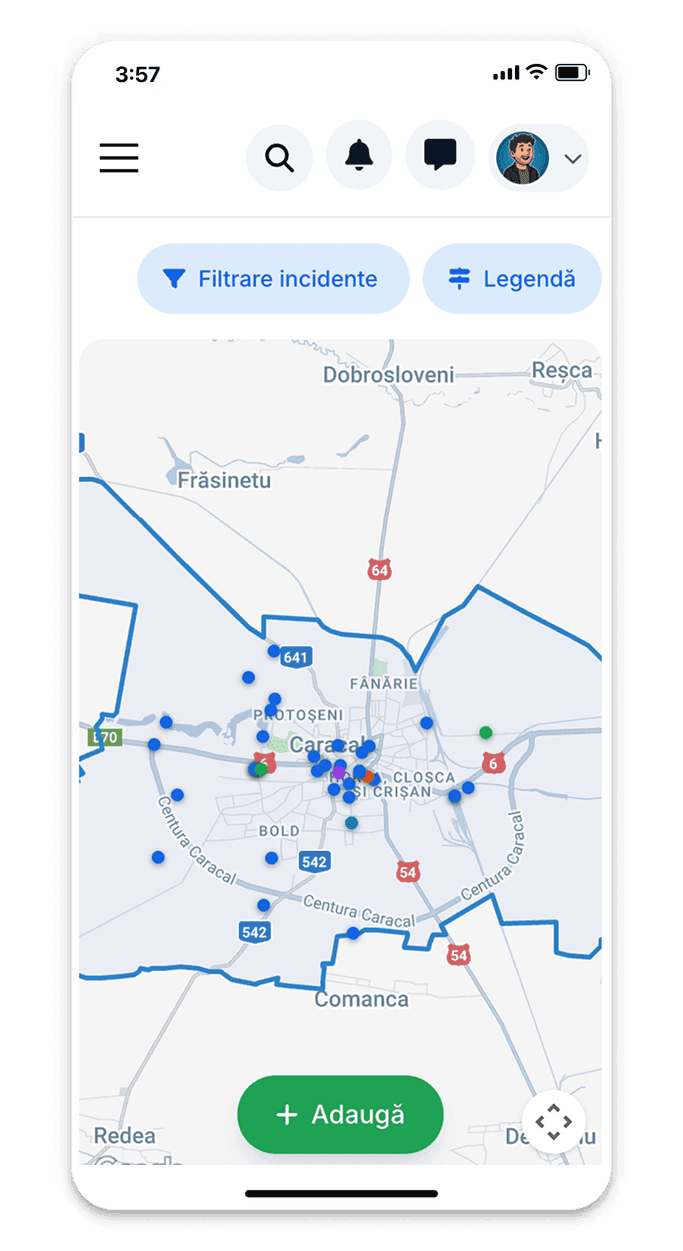
Incident map
Report urban issues on interactive map and track real-time resolution by authorities.

Report urban incidents with a few clicks
Report problems directly on the map with automatic GPS location. Add photos, detailed description and incident category (lighting, road, cleaning, green spaces, urban furniture). The system automatically sends notification to the responsible department and gives you a reference number for tracking.
Why report incidents on the platform?
Together we make the city better for everyone
Public visibility
Incidents are visible to all citizens, creating transparency and accountability
Smart prioritization
The system automatically prioritizes incidents based on severity and number of votes
Direct communication
Direct dialogue with intervention teams through comments and updates
Increased efficiency
Precise geolocation and clear photos accelerate the resolution process
How to report an urban incident
Step-by-step guide for efficient reports
Access the incident map
Log into the platform and select 'Incident Map'. You can access the map without an account, but you must be authenticated to report incidents.
Locate the incident on the map
Use automatic GPS location or manually search for the exact address. Place the pin on the map exactly where the problem is located. Check if the incident has not already been reported in that area.
Select incident category
Choose the appropriate category: Broken public lighting, Potholes/road damage, Uncollected garbage, Unsupervised vegetation, Damaged urban furniture, Sewage/water problems, Other. Correct selection accelerates routing to the responsible department.
Add description and photos
Write a clear and concise description of the problem. Upload clear photos that highlight the incident (minimum 1, maximum 5 photos). The more detailed the information, the faster the resolution.
Submit the report
Check all information and send the report. You will immediately receive a reference number and email confirmation. The incident will appear on the map with 'Received' status and will be visible to all citizens.
Track the resolution
Receive automatic notifications at each status change. You can access report details anytime to see progress, intervention team comments or photos of work performed.
Monitor the status of your reports
See in real time the resolution stage of each reported incident: received, under evaluation, being resolved, resolved, closed. Receive automatic notifications at each status change. You can add additional comments or updated photos to help intervention teams.
Types of incidents you can report
Infrastructure
Potholes in asphalt, damaged sidewalks, broken traffic lights
Public lighting
Burned out bulbs, fallen poles, dark areas
Sanitation
Uncollected garbage, abandoned waste, dirty areas
Green spaces
Dangerous trees, overgrown vegetation, degraded parks
Urban furniture
Damaged benches, broken bins, missing signs
Other problems
Any other problem affecting quality of life in the city
Real impact in the community
Our reporting system has helped resolve thousands of urban problems
Improve the community together
Every report counts for a better locality
Fast Action
High priority reports (public dangers, safety issues) are immediately directed to intervention teams.
Community Collaboration
Citizens can vote on incidents reported by others to highlight major problems affecting multiple people.
Data and Statistics
The public dashboard shows average resolution time, frequent categories, problem areas and authority progress.
Proven efficient system
Measurable results in the community
Complete management
Modern platform for efficient urban incident management
Smart prioritization
Automatic routing algorithms and optimized workflow for fast resolution
Total transparency
All incidents and statuses are public, creating accountability
Administrator verification
Every report is validated before being sent to technical teams
Community feedback
Citizens can rate the quality of resolution and leave comments
Priority system
Safety incidents and public dangers receive immediate attention